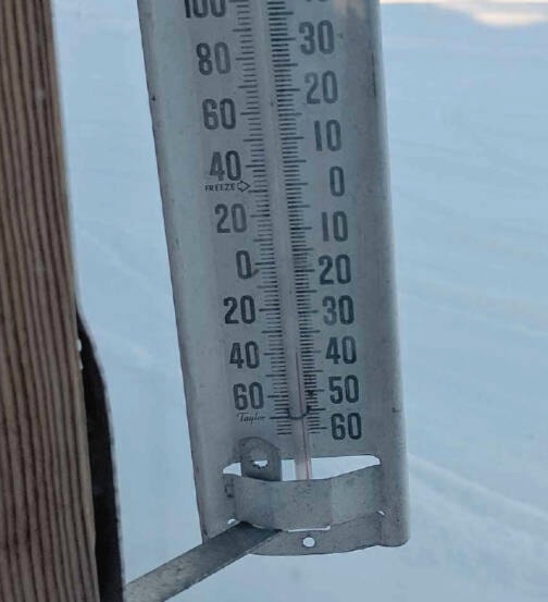
After brutal few weeks of temperatures consistently below -20 degrees Celsius, Houston can expect a return to more normal temperatures over the next two weeks.
According to AccuWeather Senior Meteorologist Brett Anderson, local residents can expect a nice break from the extreme cold. “This most recent cold weather stretch ended on Jan. 8, and it looks like things will return to normal temperatures for this time a year for the next little while,” Anderson told Houston Today.
“On Jan. 9, the cold air shifted to the east, with more winds from the Pacific starting to come in. This will cause temperatures slightly warmer then average, and it should last for the next two weeks or so.”
The cold weather over the holidays continued into the new year, reaching a low of at least -33 degrees on Jan. 5, although some locals say they recorded temperatures even colder. The Weather Network website is consistent with Anderson’s analysis, as their forecast says that temperatures rose to zero degrees in the area on Jan. 11, and will remain close to that until Jan. 20.
The lowest predicted temperature from The Weather Network for the rest of January is -6 degrees, which will occur on Jan. 18.
However, Anderson believes that the end of the month could see a return to extreme cold weather, due to a La Niña phase, which occurs every three to five years on average. “One model has it turning colder the last week of January, another one says it won’t, so I can’t be sure of that. I wouldn’t be surprised if we returned to another cold snap at the end of January though, because that’s the nature of a La Niña phase,” he said.
La Niña causes sea surface temperatures in the Pacific Ocean to dip to below-average levels, which in turn causes above-average snowfall and precipitation in southern parts of the province, and the cold weather from these storms tends to break out and impact the north.