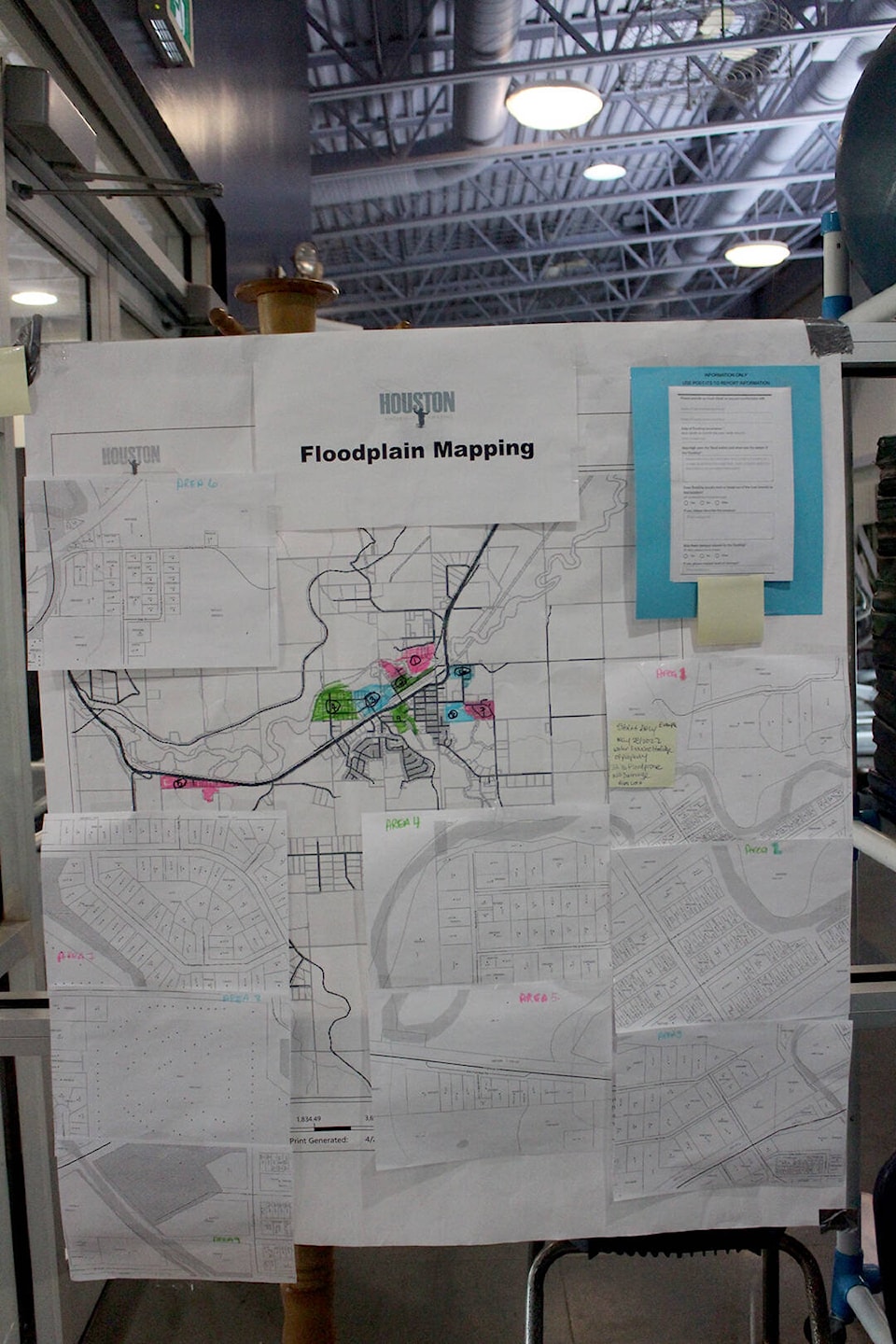
Anyone with any information and memories of past flooding is welcome to add what they know to a map set up at the District of Houston’s leisure facility.
Learning as much as possible about past flooding in the area is part of a wide-ranging data-gathering exercise on the part of the District and the Fraser Basin Council.
“These floodplain mapping projects will help communities identify flood hazard areas and assess potential impacts to people, critical infrastructure and other assets and values,” protective services director Jim Daigneault wrote in a memo to council.
“The district’s present mapping does not accurately account for shifts to potential community flood conditions caused by changing climate and weather patterns, as well as flood mitigation efforts implemented by the District,” he added.
“It is important that the mapping be reviewed to ensure accuracy.”
Photos are videos are most welcome as are locations where flooding first tends to take place and how high the water was and what damages ensued.